


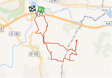


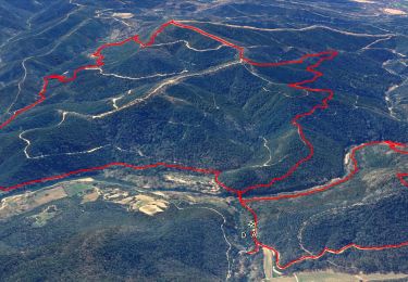
15.4 km | 22 km-effort


User


FREE GPS app for hiking
 SityTrail
IGN / Geographical institutes
SityTrail World
The world is yours!
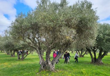
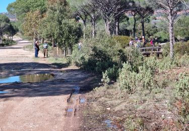
Trail Walking of 9.9 km to be discovered at Provence-Alpes-Côte d'Azur, Var, Le Muy. This trail is proposed by jean-marie.parachini.
Randonnée des abords du Muy au pied du rocher de Roquebrune et de la grotte de l'ermite.


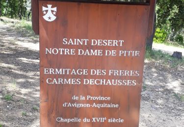
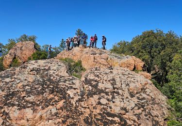
25 photos in total. Please click on a photo to see them all in the gallery.
Walking

Walking

On foot
Walking

Walking

Mountain bike
Walking
Walking
Walking